We deliver high-accuracy point cloud, reverse engineering, GIS mapping and digital documentation services for faster and error-free project execution.
Work With UsAccurate 3D laser scanning, 3D space scanning, BIM modeling and point cloud solutions for engineering, industrial and infrastructure projects.
Work With UsFrom scan to BIM, Revit, AutoCAD, Plant3D and topographic solutions — we transform real-world spaces into accurate digital engineering data.
Work With Us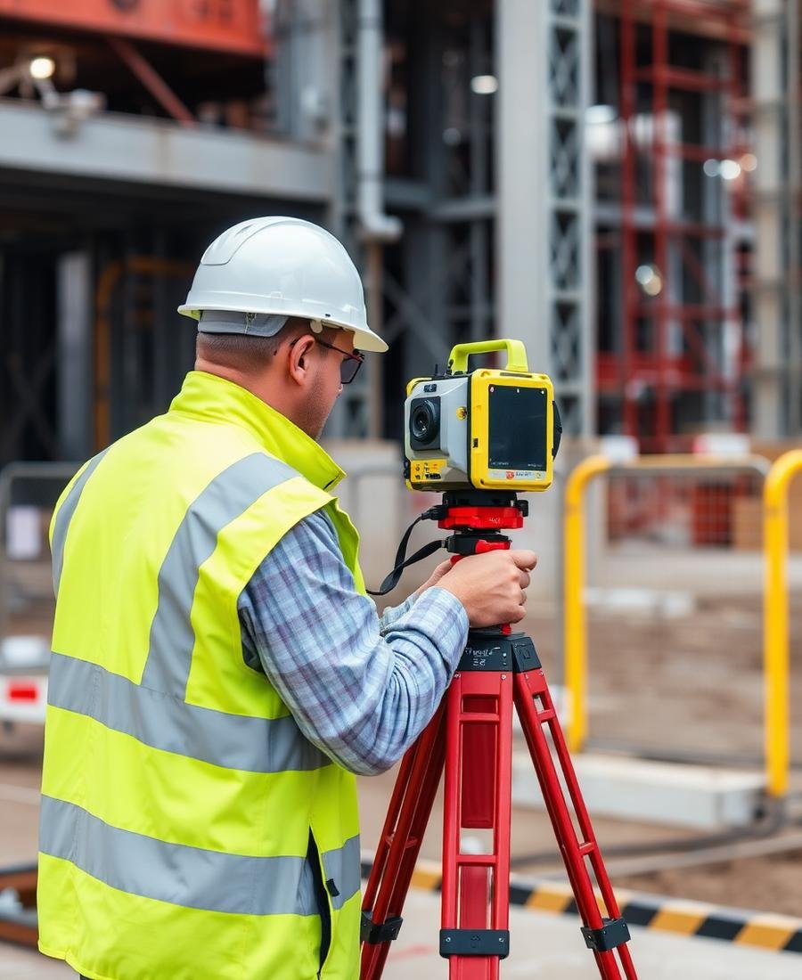
To be a trusted global provider of advanced reality capture solutions, delivering high-accuracy 3D laser scanning, 3D space scanning and digital engineering data.
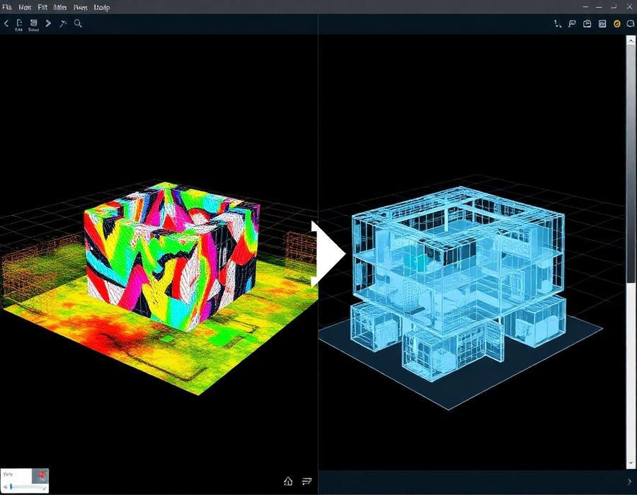
Transform real-world environments into precise digital models through point cloud processing, Scan-to-BIM, GIS mapping and engineering documentation.
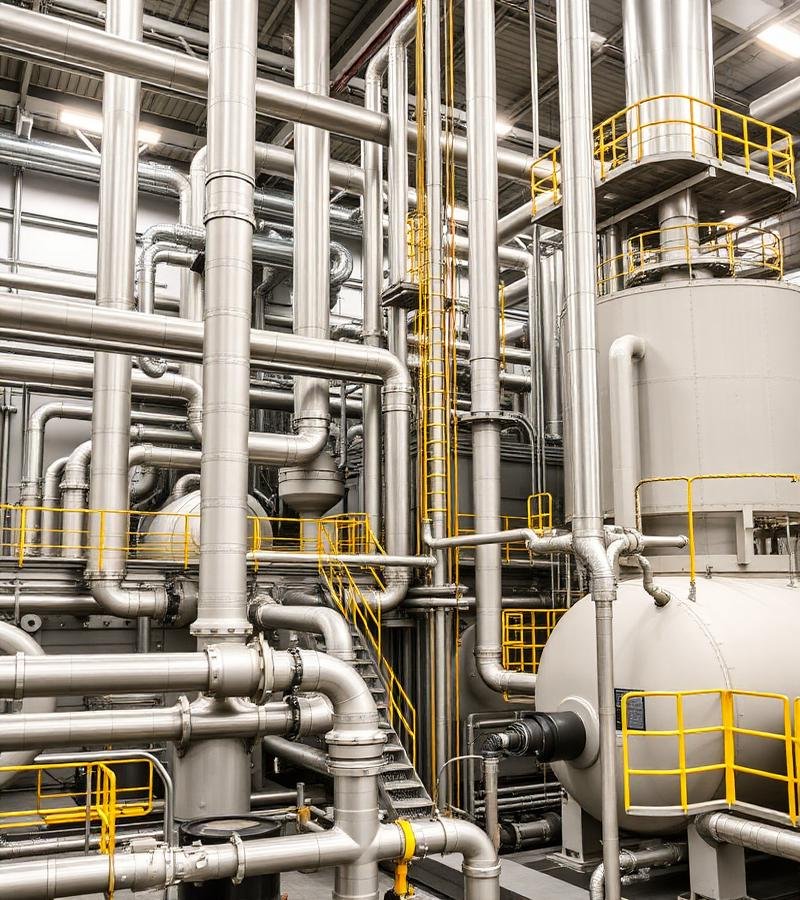
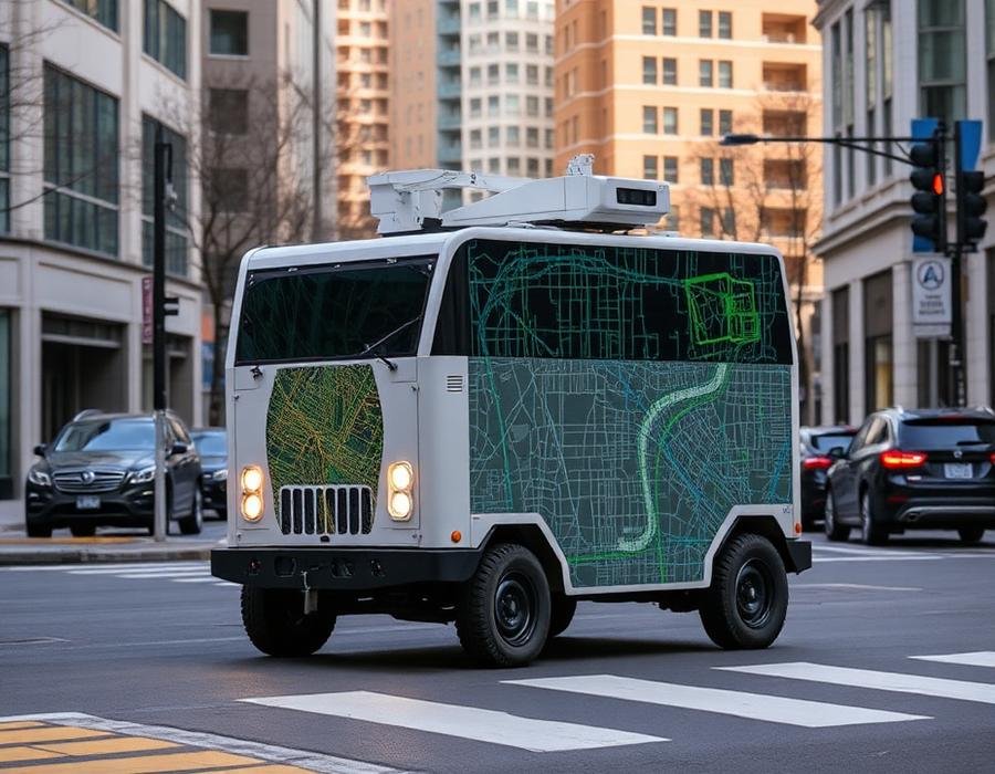
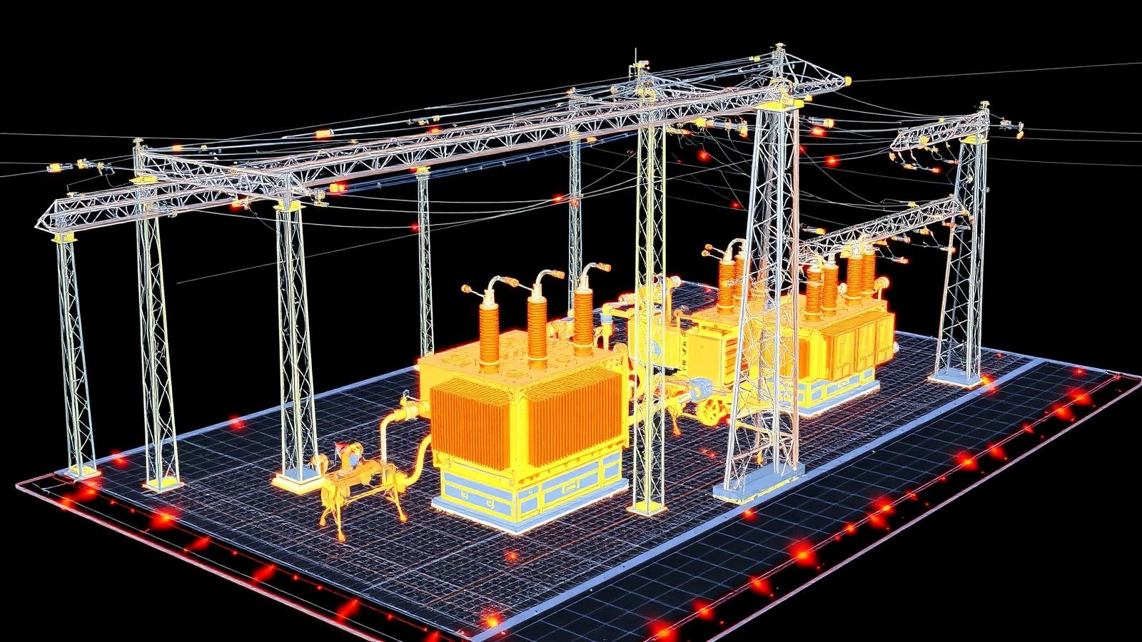
High-precision 3D laser scanning services to capture accurate spatial data of buildings, infrastructure and industrial facilities.
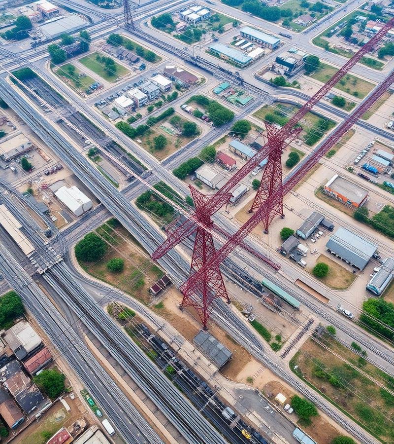
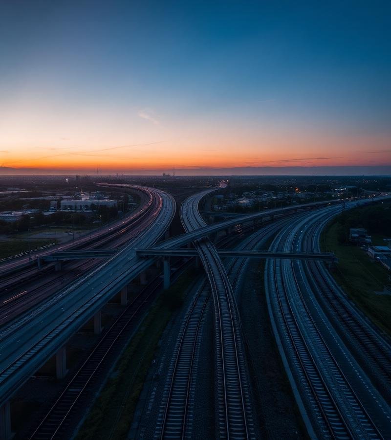
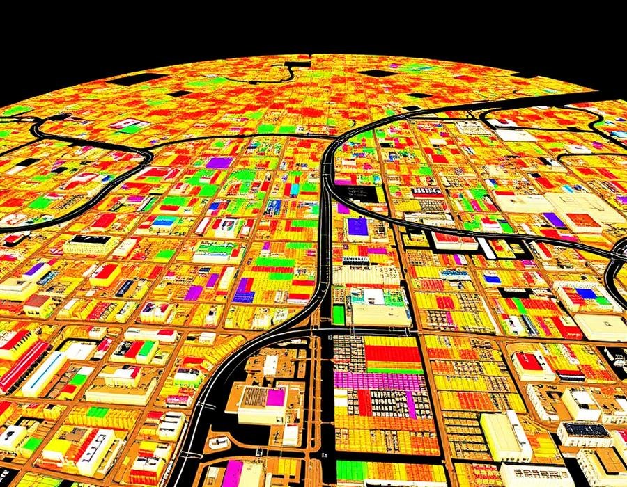
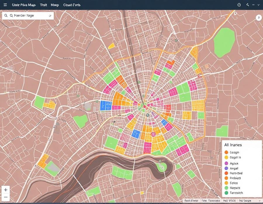
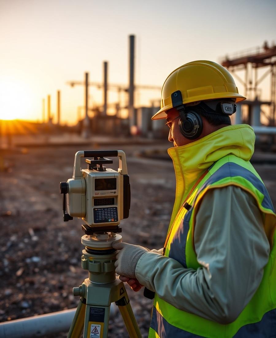
Advanced 3D space scanning technology for topographic surveys, terrain modeling and high-accuracy geospatial data collection.
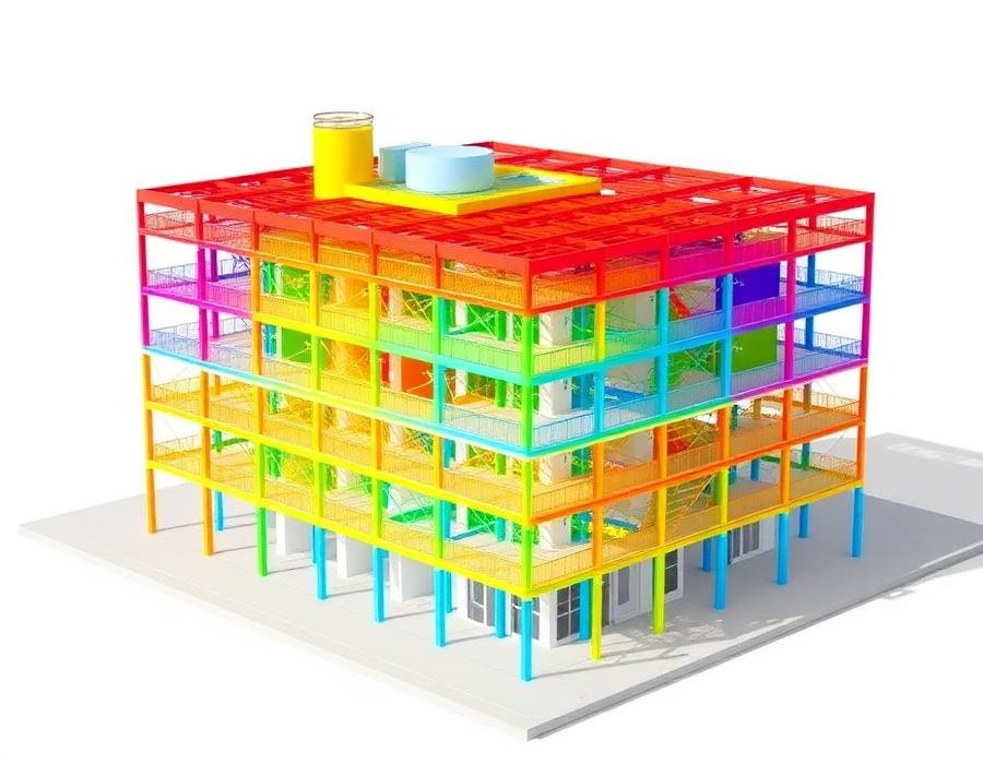
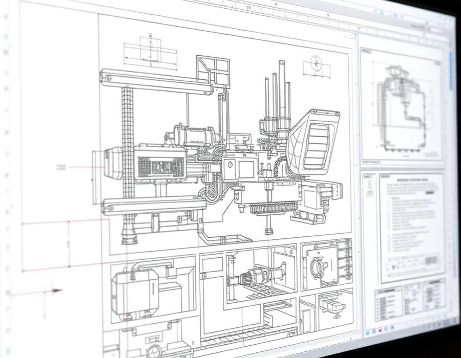
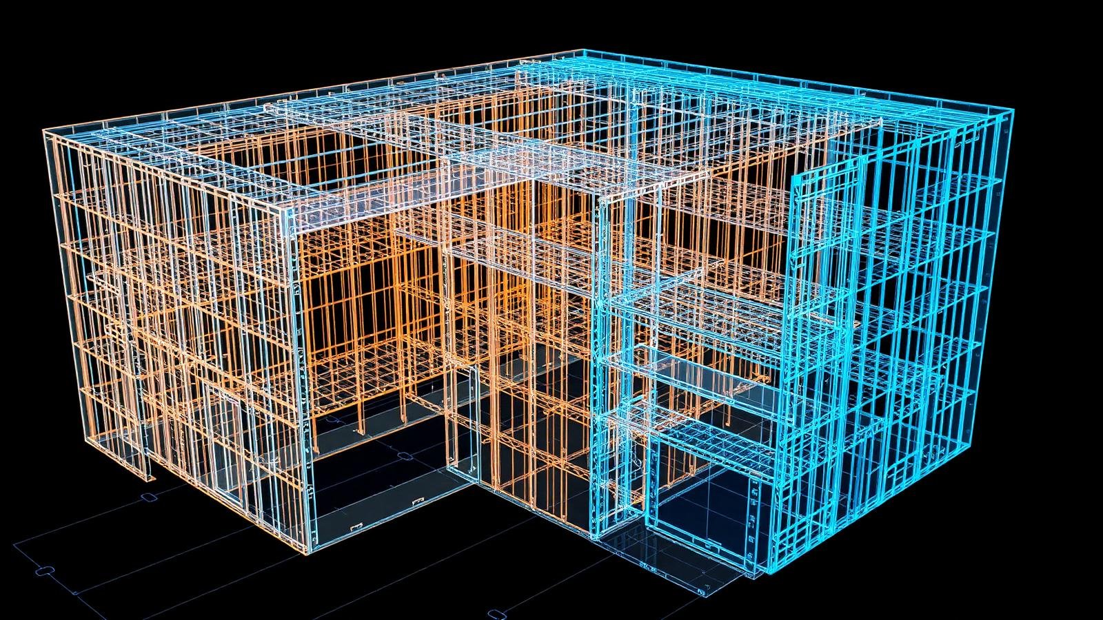
Transform point cloud data into intelligent BIM models using Revit and AutoCAD for engineering workflows.
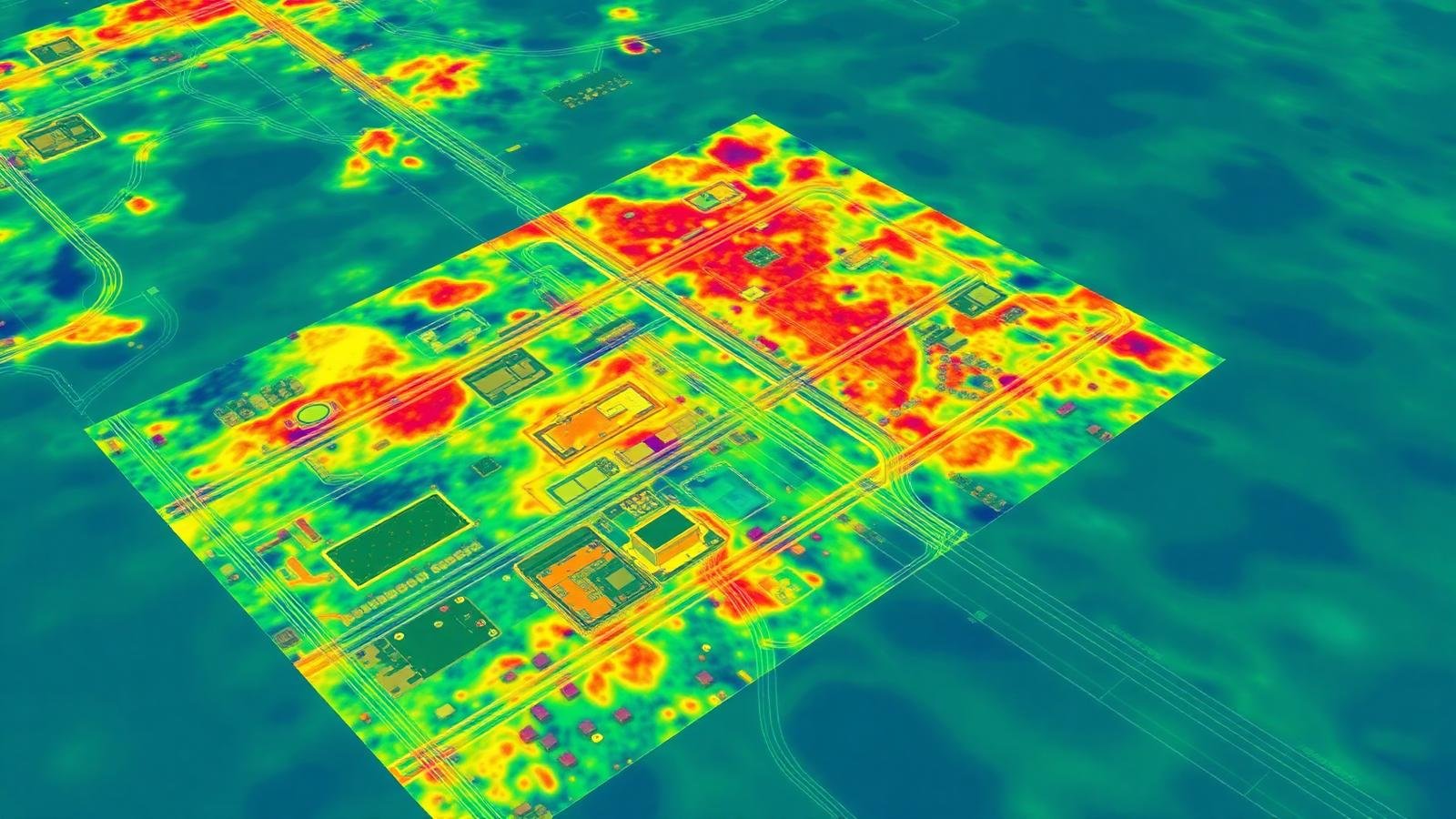
Processing and optimization of large point cloud datasets for accurate digital documentation and analysis.
Create precise CAD models from scanned physical objects for manufacturing, design and product development.
Geospatial mapping and GIS solutions for infrastructure planning, environmental analysis and urban development.
We deliver accurate and cost-effective reality capture, 3D space scanning, BIM, mobile mapping and GIS solutions with strong quality standards, modern technology and secure data handling.

More than 10 years of collective experience in 3D laser scanning, 3D space scanning, BIM, CAD modelling, reverse engineering and GIS.
We continuously adopt the latest tools, software and workflows to deliver productive, error-free, high-accuracy engineering.
Our strong QA and QC process helps us maintain high quality standards, customer focus and timely project delivery.
We follow strict data confidentiality, backup and file management protocols to ensure secure handling of client data.
Their expertise in GIS mapping, CAD conversion and Scan to BIM made complex project data easier to manage. We appreciate their professionalism and attention to detail.
BO3D delivered highly accurate point cloud data and BIM outputs for our project. Their team was responsive, technically strong and committed to quality at every stage.
The 3D space scanning and digital documentation provided by the team helped us improve project coordination and reduce rework. Delivery was on time and well structured.
We'd be glad to understand your requirements in 3D laser scanning, 3D space scanning, BIM modelling, GIS mapping and engineering data solutions.